In contrast to magnitude, which describes the energy release of an earthquake, the intensity of a seismic event describes its effects. Obviously, the intensity value depends on the location of the observer, on the earthquake parameters, but also on what is used to ascribe earthquake effects. Many scales exist. Most macroseismic intensity scales are based on earthquake damage to buildings and infrastructure. The MM and, especially in Europe, the EMS-98 scales are widely used. All these scales that take into account damage to man-made structures have at least four problems in common:
- It is hard to compare building types world wide, especially if it comes to quakes that occurred in the past.
- They saturate at high intensities. That is, if everything is flattened by a major earthquake, one can not easily say if it is intensity XI or XII.
- You can only use them when buildings are around.
- You can not use them to investigate old earthquakes that happened before buildings were there.
I am working on paleoseismology. I search for old earthquakes by analyzing the traces they left in the geological record. The idea is that we can say something about the actual seismic hazard if we know about seismic activity of a certain region in the past. I look for earthquakes which are hundreds, sometimes tens of thousands of years old. They did not damage buildings which I could analyze to get an idea about EQ intensities. Instead, they might have caused earthquake environmental effects (EEEs), such as coseismic uplift/subsidence, surface ruptures and offsets, liquefaction, landslides, rockfalls, tsunamis etc. If we knew about the EEEs that were caused by recent earthquakes with a known magnitude, this helps me to estimate the magnitudes of paleo-events that left similar traces. The Environmental Seismic Intensity Scale (ESI 2007 scale) was designed for exactly that purpose. All events which were analyzed using this scale are collected in a public catalogue. This EEE catalogue is based on GoogleEarth.
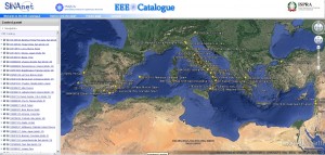
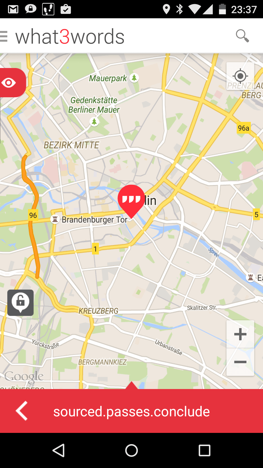
The two M6+ earthquakes that rattled the Greek island of Cephalonia earlier this month were also investigated in terms of EEEs. George Papathanassiou and his colleagues went to the epicentral area and mapped the effects of the quakes. As they told me, they used a newly developed App for that. The Earthquake Geosurvey App was released recently and presented during the 4th PATA Days conference in Aachen. You can download the paper here (pdf, 220 kb): Papathanassiou and Kopsachilis 2013 – Earthquake Geosurvey, an application for reporting earthquake-induced environmental effects. The app is free and it was built by George Papathanassiou and Vasilis Kopsachilis. It was specially designed for meeting the requirements of the ESI2007 scale and it has a nice function for exporting the mapped data into the EEE catalogue.
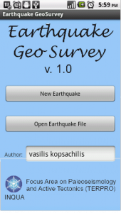
Also, you can include photos and other data in the database.
Do you have an App which you don’t want to miss?