 |
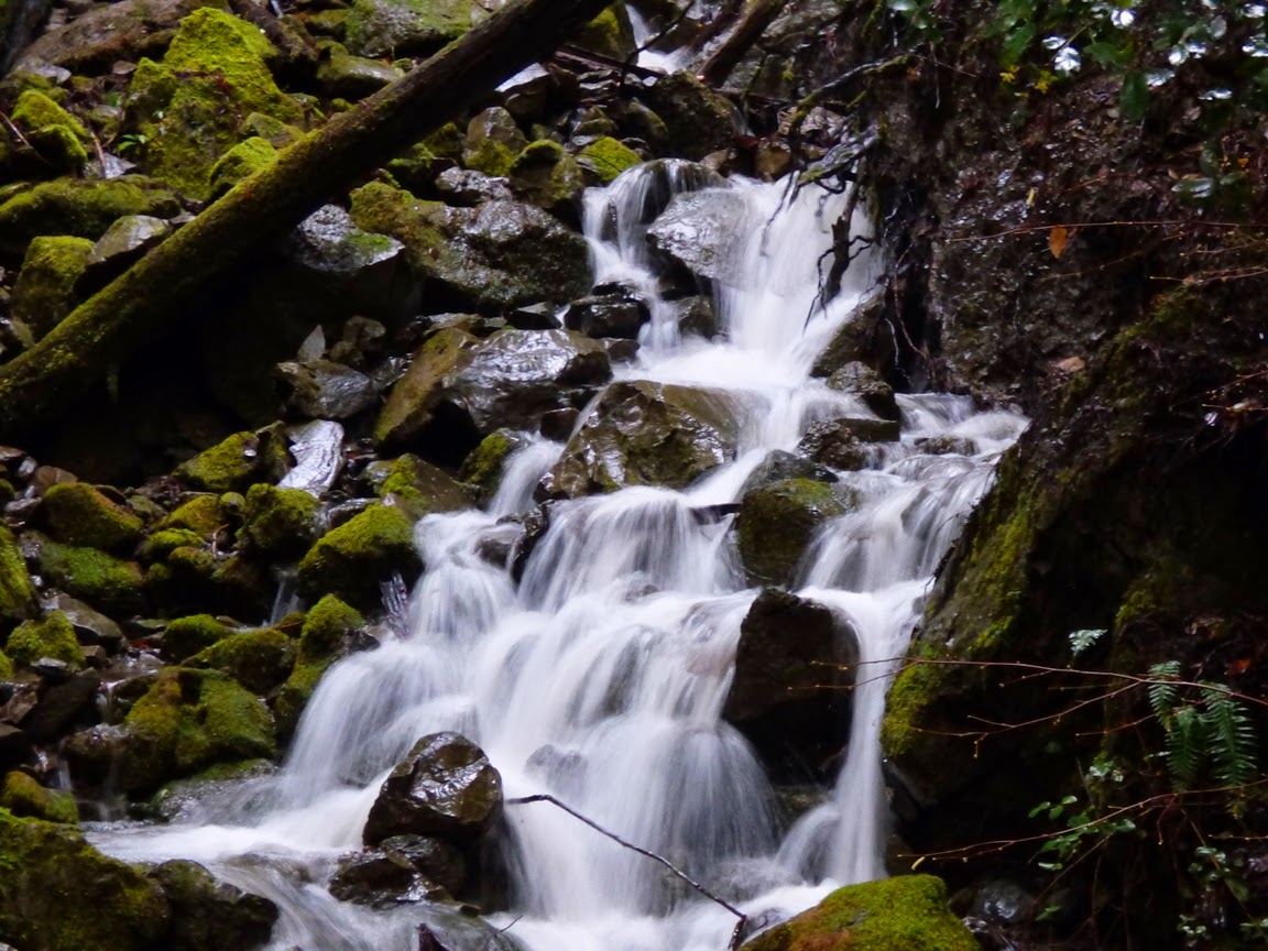
| Humboldt Redwoods State Park, California |
 |
| Humboldt Redwoods State Park |
 |
| Prairie Creek, Redwood National Park, CA |
 |
| Prairie Creek Elk viewing area, Redwood National Park |
 |
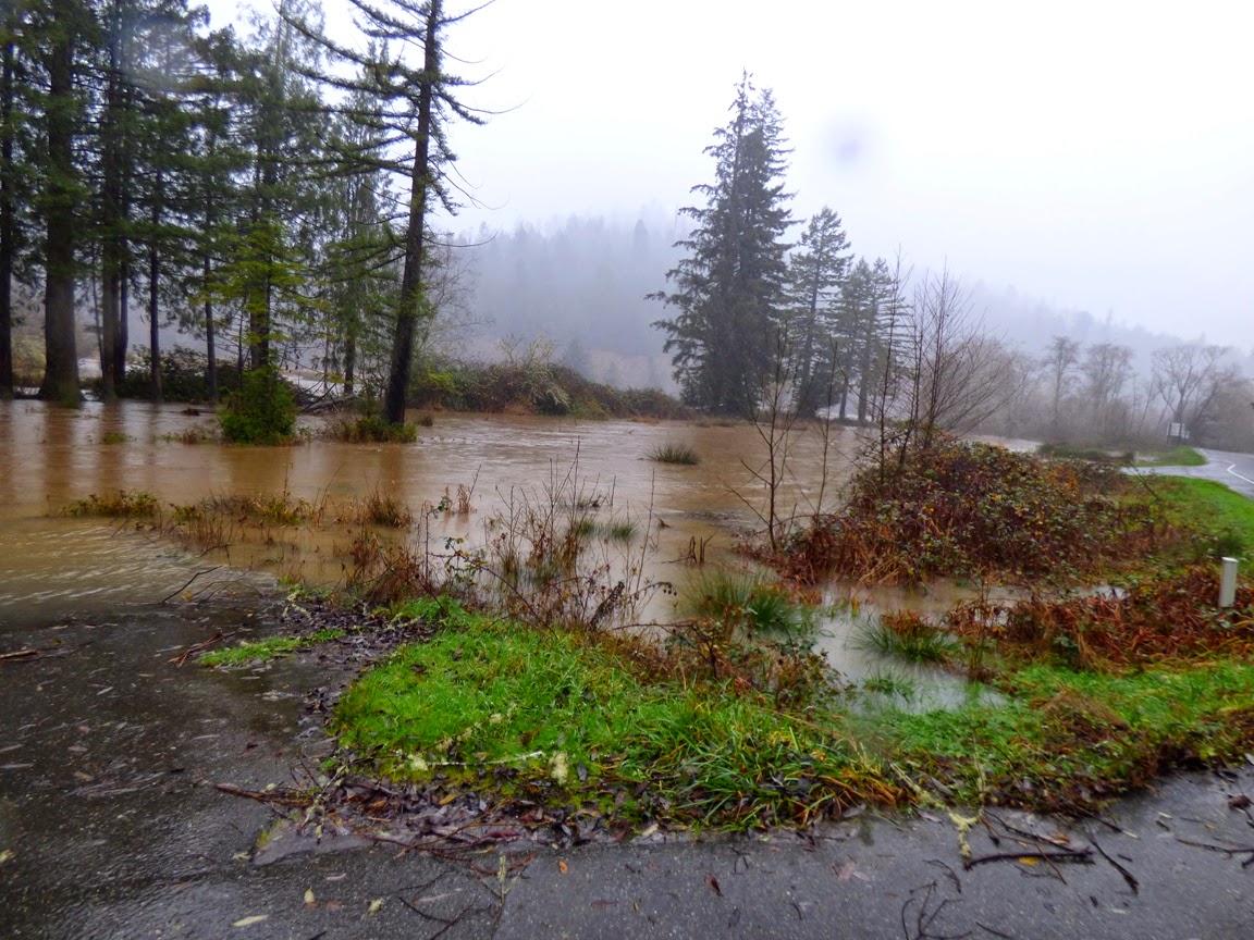
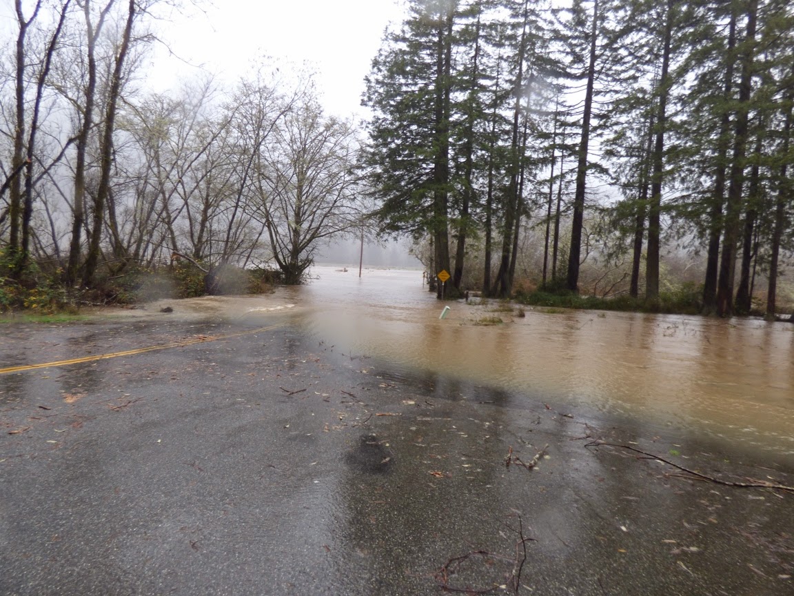
| Eel River at Phillipsville |
 |
| Eel River, CA |
 |
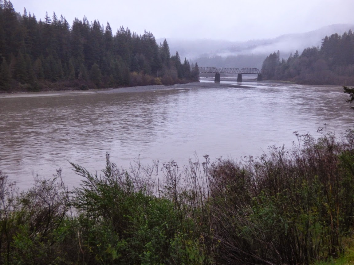
| Umpqua River at Roseburg, Oregon |
 |
| Umpqua River at Roseburg, Oregon |
A year ago at this time, the river was pretty much a pool...

Here is how hydrologists see these rivers, with a graph that shows the discharge (cubic feet per second) over a week's time. The effect of the latest storms is clear.

The water flows will undoubtably drop off over the next few days, but it is impressive to see what the rivers can do. Today is the 50th anniversary of the worst floods ever in the region, the 1964 Christmas Floods. In that flood there had been a cold snap where a great deal of snow had accumulated and the ground was frozen. Then, over several days around Christmas, a Pineapple Express storm dropped prodigious amounts of rain, which melted the snow, but did not melt the soil, so little of the rain was absorbed into the ground. Around three dozen people were killed, and several dozen villages were completely erased. Many dozens of bridges were destroyed, and numerous other towns were cut off for weeks.
Compare the numbers:
Klamath River today, 95,500 cfs, in 1964, 565,000 cfs.
Eel River today, 40,000 cfs, in 1964, 750,000 cfs.
Rogue River (Oregon) today: 23,500, in 1964, 200,000 cfs.
By some estimates, such a flood is estimated to happen maybe once in a thousand years.
2 comments:
Those are some incredible numbers... honestly glad I wasn't here to experience them!
If you're looking for a nice day trip, it's about an hour and fifteen minutes from Florence to Sunset Bay, Shore Acres, and Cape Arago, near Charleston. My favorite area along the coast, and that's very high praise. Covered Shore Acres 7/22-8/10 in Geo 365 last year, and Sunset Bay 2/11-2/17 of the series.
Post a Comment