


Greetings from McMurdo Station, Antarctica! For those of you who don’t know me, my name is Karen Alley and I’m a visiting assistant professor in the College of Wooster Department of Earth Sciences. I’m a glaciologist and a remote sensor, which means that I study ice sheets and glaciers mainly using satellite imagery. Most of my work has focused on the interactions between the floating parts of ice sheets, known as ice shelves, and the ocean beneath.
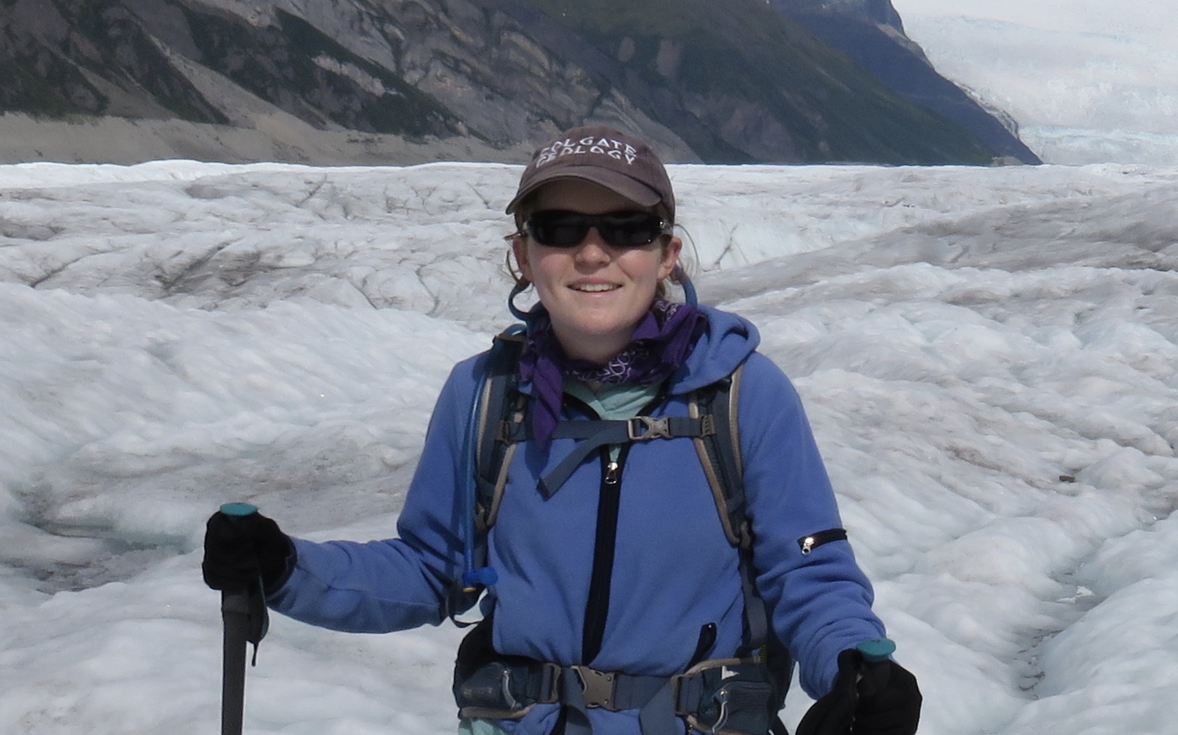
I’m in Antarctica as part of the International Thwaites Glacier Collaboration (ITGC; www.thwaitesglacier.org). Our team is TARSAN (Thwaites and Amundsen Regional Survey and Network). In a couple weeks we’ll be heading out first to the floating tongue of Thwaites Glacier and then to the Dotson Ice Shelf. I should be able to share a few blog posts while I’m at McMurdo, and I might even be able to get some text out from the deep field, if our satellite uplink works. I hope to share with you information about our research and about living and working in Antarctica. If I can’t get posts through from the deep field, I’ll at least be able to share some info when I return in February.
For now, I wanted to provide an introduction to the ITGC and our team’s role in that project.
Let’s start with the big picture. We study the world’s ice sheets and glaciers for many reasons, but one of the most globally important reasons is to understand rates of sea-level rise. Greenland holds about 23 feet of equivalent sea level. That means that if all of the ice in Greenland melted, every ocean in the world would rise 23 feet. I spend my life studying this stuff, and I still have a difficult time imagining those numbers. Just Greenland, a relatively small landmass, has enough ice piled on top to raise every single bit of ocean in the world 23 feet.
Antarctica, on the other hand, holds about 187 feet of equivalent sea level.
Now, that being said, we’re not in any danger of melting all the ice in Greenland and Antarctica, so we’re not worried about 200+ feet of sea-level rise coming anytime soon. However, those very large numbers mean that melting even a small percentage of Greenland and Antarctica has big consequences, since millions of people in the world live within just a few feet of sea level.
So, to understand sea-level rise, we have to understand what the ice sheets are going to do as the world warms. Since the ice sheets are huge, we focus on the parts of the ice sheets that are most likely to change and that hold enough ice to significantly impact global sea-level. Thwaites Glacier is at the top of the list.
Thwaites Glacier, which is the name of a fast-flowing, Florida-sized portion of West Antarctica that dumps a whole lot of ice into the ocean, is arguably the most important glacier in Antarctica. It is thinning, retreating, and increasing ice discharge rapidly, and it holds back much of the ice in West Antarctica. (Antarctica is often divided up into West Antarctica, East Antarctica, and the Antarctic Peninsula. West Antarctica is the piece of the ice sheet that sits deepest below sea level, which makes it most likely to respond to rising ocean temperatures.)

Recent work (e.g. this paper or this one) suggests that Thwaites Glacier isn’t stable. Over the next few hundred years, it is likely to melt back and break apart piece by piece, releasing west Antarctica’s ice and raising sea levels by 10 feet or so. As a scientific community, we need to find out whether it’s true that Thwaites is slowly collapsing, estimate how much and how fast sea-level rise will occur, and constrain the processes leading to this collapse in order to predict how similar patterns might progress in other parts of Antarctica and Greenland. The ITGC is an effort between the US and the UK to answer some of these pressing questions. Eight teams are examining ice flow patterns, sediment cores that tell us the history of the glacier, ocean characteristics, sub-ice-shelf bed topography, grounding-line (where the glacier goes from sitting on land to floating) dynamics, basal melt rates, surface accumulation patterns, computer models predicting the glacier’s future, and more.
Our team is split into two groups. One group is doing ship-based measurements of ocean conditions near Thwaites. The group I’m in will be on the floating part of Thwaites Glacier, and later on the nearby Dotson Ice Shelf. We intend to use seismic surveys to study the ocean and the bed beneath the floating ice shelves, radar to look at details of accumulation and change within the ice itself, and a hot-water drill to drill through the ice shelves and place instruments in the ocean underneath. We want to know more about the details of the interactions between the ice shelves and the ocean beneath, and to pinpoint the circulation patterns that are leading to melting at Thwaites. Much of the relatively warm water reaching the Thwaites grounding line may travel beneath Dotson, so our group and the ship-based group will provide a slightly larger context for understanding changes at Thwaites.
For now we’re completing safety trainings and equipment preparation at McMurdo, and crossing our fingers that weather and logistics hold to allow us to collect plenty of data. I’ll share some info about those trainings and preparations in a later post or two!
I look forward to hearing more about your work. Lots of ignorance out there. It is so important for scientists to inform people.
I agree, Ken, and we will do our best! Thanks for reading. I will try to keep this updated as much as possible!
So exciting, Karen! What an excellent post. Such a great photo. We look forward to following your epic adventures.
That’s a great instructional post! Thank you!
Echoing Mr. Kolodner’s sentiments, if you have time, educate us about how remote and inaccessible Antarctica is, how large it is (including the vast sizes of some of the “permanent” ice shelves) and how research, there, has trailed behind the rest of the world, because of the hostility of conditions. Tell us about where the Antarctic bases are supplied from (and how far away that is), why the Antarctic is so different from the Arctic, and how limited the yearly research window is (and the small number of people who can take advantage of it).
I remember the US Antarctic aviation supply base in Christchurch, NZ, which I assume is still there (the base, not Christchurch). Is that the route you took to Antarctica? Tell us how long your trip took, from Wooster! Our sense of scale, in that part of the world, is poorly developed, and I hope you can give everyone a feel for the immensity, since you traveled, and are working, there.
For readers who are interested, new, much-higher-resolution maps of the continent were just published last year, I think. They are exquisite in detail and are warehoused through the University of Minnesota, with downloadable versions at many different scales/resolutions: http://maps.apps.pgc.umn.edu/id/2365. And here’s a link to a great NYT article, discussing the map’s release: https://www.nytimes.com/2018/09/07/science/antarctica-map-rema.html.
For others, Google Earth is a good tool, too, to inspect the edges of the continent, and the wonderful natural artistry of glacial tributaries flowing into the lowlands and into the amazing, and scary, Southern Ocean, which is unique. And NOAA, via the NSIDC, provides a wonderful tool to look at the sea ice and how it has changed, both in the Arctic and Antarctic, since satellite data became available, around 1980 (http://nsidc.org/data/bist/bist.pl?config=seaice_index).
Karen,
So very informative! I look forward to reading more of your blog posts! I’m proud and stand in awe of you for being part of such an important research team! I’m curious about whether you have much time off and privacy to play your hammered dulcimer IF you were even able to bring it! Yes, to all of Bill Reinthal’s suggestions. Stay safe down there in that fierce, frigid landscape at the bottom of the world.
And yet another good link for those interested in Antarctic research, this one published this week by the Weather Underground (my favorite online weather info service), as the current research season “heats” up: https://www.wunderground.com/cat6/frozen-realm-inside-east-antarctic-ice-sheet?cm_ven=cat6-widget
They host a great blog, run by their sciencey founders (Ph.D. atmospheric types), called Category 6, that is full of great, high quality, (no alternative facts) weather-related info.
I am so proud of you, Karen! Thanks for the great information. I’d love to hear more about the other members of the group and how you all manage the details of regular life like cooking and keeping warm!
Great post Karen – perfect timing for my classes as well. Keep it up when you can. Enjoy the training.
Thank you Karen. Our granddaughter Meghan Sharp will be joining you soon. We look forward to hearing all about the project progress. Best regards. Tony Sharp.